Latitude:49.1845
Longitude:-119.54889
GPS location Date/Time:05/11/2010 22:06:36 MDT
Click the link below to see where I am located.
http://maps.google.com/maps?f=q&hl=en&geocode=&q=49.1845,-119.54889&ll=49.1845,-119.54889&ie=UTF8&z=12&om=1
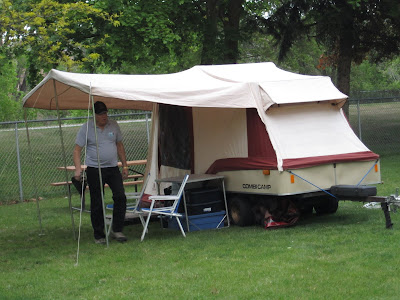
Well, it was time to move on from the Island and become boat people once again. But what boat to take? It was between going South and continuing into the States, or to begin our journey home and cross over to Vancouver. Well, I decided I really wanted to meet Lucille when she arrives home, so we embarked on the ferry to Horseshoe Bay. On the other side, Dave felt his front tire was low, so we pulled into a parking lot to check, and sure enough, it only had about ten pounds. I pulled out my compressor and topped him up, and we checked the rest too, but his front was the only alarming one. Then we were on our way and we met Dave's daughter Sherry for lunch again before heading out towards Hope. We checked Dave's tire again, and it is definately leaking, but no obvious nails or anything. Then we got on ther Hope Princeton highway and made our way to Princeton, then down to Osoyous, then up to Oliver, where we set up camp for the night. The road was delightful, if a bit unchallenging. Good pavement and nice wide sweeping turns, and tons of orchards and scenery.


No comments:
Post a Comment